Strathwell Dale Renovation Project
Page 2
History
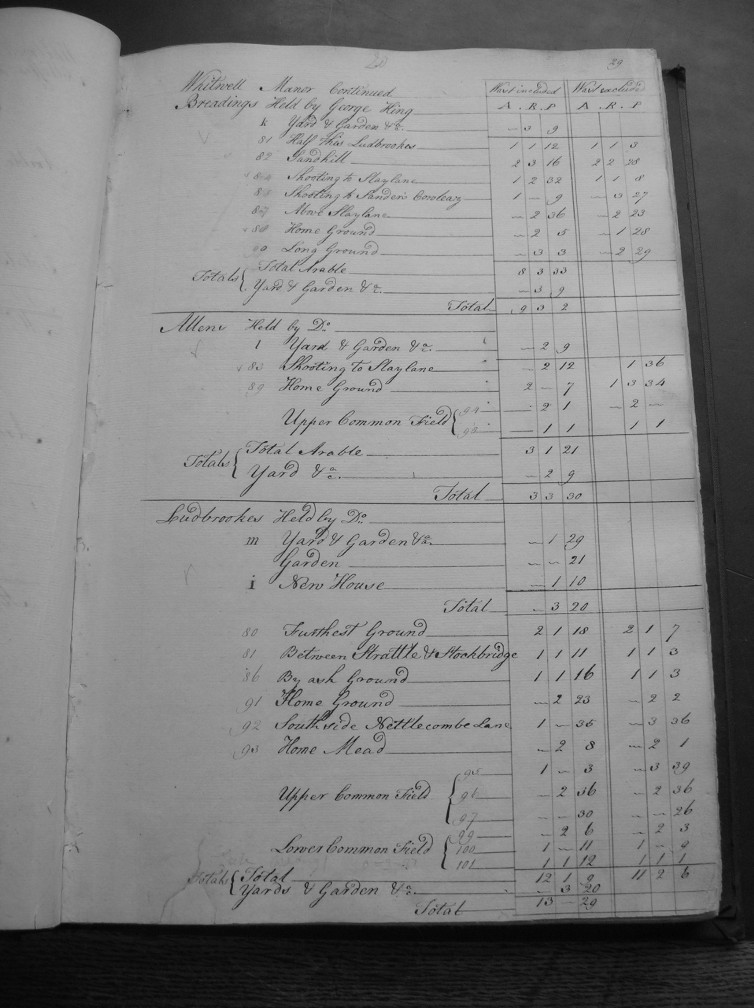
The details of all three properties can be seen in Fig 3, which gives the amount of land associated to each property.

Fig 3
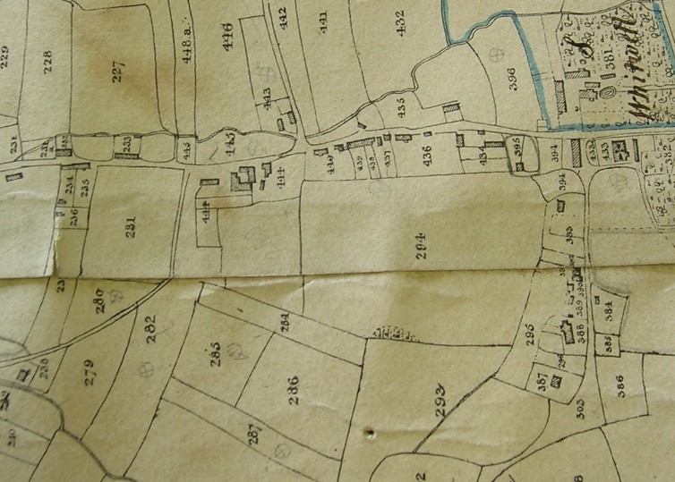
The 1838 tithe map for Whitwell shows the property known as Bradings. The extension has now been built on the west end of the building, and is currently known as Brading cottage. (IWRO, 1838) This is the first time Brading cottage is shown on a map, so it must date from between 1773 and 1838. (Fig. 4)

Fig 4
The tithe schedule book of 1843, which accompanies the map shows that Morris and others were the occupiers at this time. In addition, Bradings is identified as number 444a. (IWRO, 1843)